RainTable - Rain Gauge Data Table
By Contra Costa County Flood Control and Water Conservation District
Martinez, California
Rainfall Durations Ending June 28, 2026 at 03:15
All numbers represent depth of rainfall in inches.
The gauges are polled every 15 minutes.
| Station Name and Number | MSP | Year to date |
Last 30 days |
Last 7 days |
Last 5 days |
Last 2 days |
Last 24 hours |
Last 12 hours |
Last 9 hours |
Last 6 hours |
Last 3 hours |
Last 2 hours |
Last 1 hour |
Last 30 min. |
Established |
|---|---|---|---|---|---|---|---|---|---|---|---|---|---|---|---|
| Critical Antecedent Conditions | See Note 3 | 7" | 5" | 3" | - | See Note 3 |
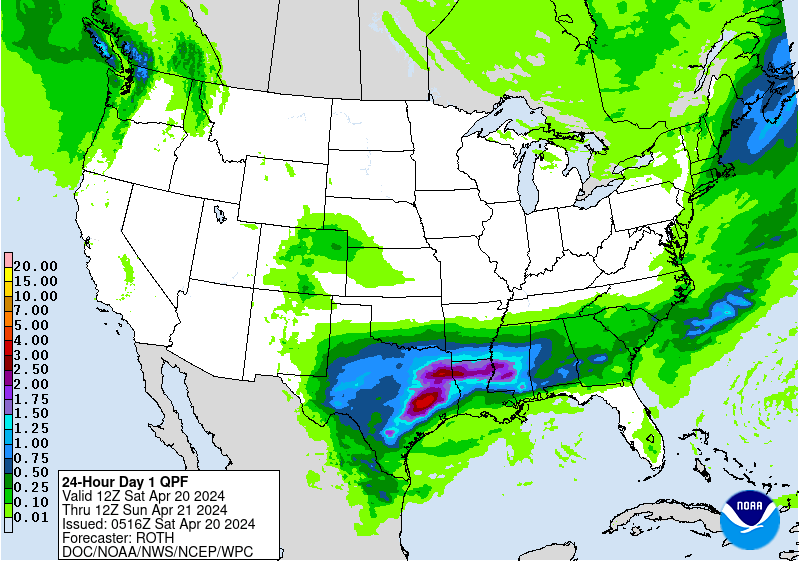
NWS 24-hour QPF Map |
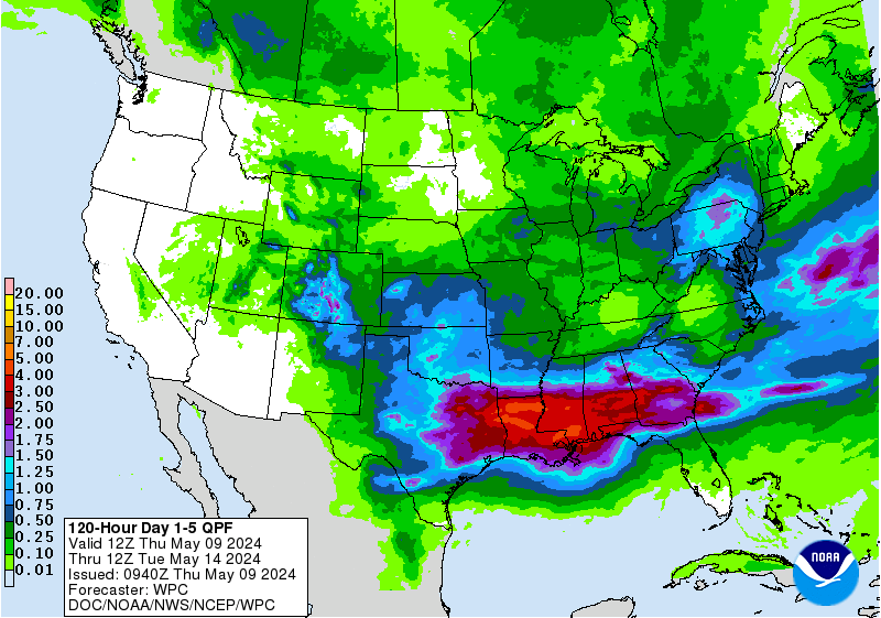
NWS 5-day QPF Map |
Bay Area QPF Map | ||||||
| West County Stations | |||||||||||||||
|
Station 15 Rodeo Fire Department |
18.30 | 19.82 | 0.00 | 0.00 | 0.00 | 0.00 | 0.00 | 0.00 | 0.00 | 0.00 | 0.00 | 0.00 | 0.00 | 0.00 | EST. 1972 |
|
Station 21 Richmond City Hall |
21.81 | 23.99 | 0.00 | 0.00 | 0.00 | 0.00 | 0.00 | 0.00 | EST. 1974 | ||||||
|
Station 32 EBRPD Bald Peak, Tilden Park |
33.50 | 39.96 | 0.47 | 0.25 | 0.18 | 0.07 | 0.01 | 0.00 | 0.00 | 0.00 | 0.00 | 0.00 | 0.00 | 0.00 | EST. 1979 |
|
Station 66 El Sobrante |
21.60 | 21.52 | 0.01 | 0.00 | 0.00 | 0.00 | 0.00 | 0.00 | 0.00 | 0.00 | 0.00 | 0.00 | 0.00 | 0.00 | EST. 2021 |
| Central County Stations | |||||||||||||||
|
Station 11 CCC Flood Control District, Martinez |
17.40 | 17.82 | 0.01 | 0.00 | 0.00 | 0.00 | 0.00 | 0.00 | 0.00 | 0.00 | 0.00 | 0.00 | 0.00 | 0.00 | EST. 1970 |
|
Station 12 St. Mary's College, Moraga |
28.15 | 28.57 | 0.00 | 0.00 | 0.00 | 0.00 | 0.00 | 0.00 | 0.00 | 0.00 | 0.00 | 0.00 | 0.00 | 0.00 | EST. 1943 |
|
Station 13 Mt. Diablo Park Headquarters |
21.36 | 22.91 | 0.01 | 0.00 | 0.00 | 0.00 | 0.00 | 0.00 | 0.00 | 0.00 | 0.00 | 0.00 | 0.00 | 0.00 | EST. 1937 |
|
Station 18 Orinda Fire Station |
29.21 | 28.48 | 0.00 | 0.00 | 0.00 | 0.00 | 0.00 | 0.00 | 0.00 | 0.00 | 0.00 | 0.00 | 0.00 | 0.00 | EST. 1952 |
|
Station 29 Rossmoor Community, Walnut Creek |
23.00 | 25.37 | 0.00 | 0.00 | 0.00 | 0.00 | 0.00 | 0.00 | 0.00 | 0.00 | 0.00 | 0.00 | 0.00 | 0.00 | EST. 2005 |
|
Station 31 Danville Library |
22.00 | 21.91 | 0.00 | 0.00 | 0.00 | 0.00 | 0.00 | 0.00 | 0.00 | 0.00 | 0.00 | 0.00 | 0.00 | 0.00 | EST. 2006 |
|
Station 33 Ygnacio Valley Fire, Concord |
17.00 | 19.91 | 0.00 | 0.00 | 0.00 | 0.00 | 0.00 | 0.00 | 0.00 | 0.00 | 0.00 | 0.00 | 0.00 | 0.00 | EST. 1979 |
|
Station 34 Rocky Ridge, San Ramon |
28.50 | 25.40 | 1.40 | 0.87 | 0.69 | 0.37 | 0.02 | 0.01 | 0.01 | 0.01 | 0.01 | 0.01 | 0.00 | 0.00 | EST. 1979 |
|
Station 35 Cummings Peak, Crockett |
20.00 | 19.47 | 0.01 | 0.00 | 0.00 | 0.00 | 0.00 | 0.00 | 0.00 | 0.00 | 0.00 | 0.00 | 0.00 | 0.00 | EST. 1982 |
|
Station 36 Pleasant Hill City Yard, Pleasant Hill |
17.37 | 14.70 | 0.00 | 0.00 | 0.00 | 0.00 | 0.00 | 0.00 | 0.00 | 0.00 | 0.00 | 0.00 | 0.00 | 0.00 | EST. 2017 |
|
Station 37 Arroyo Del Hambre Ferndale Rd, Martinez |
23.50 | 19.28 | 0.00 | 0.00 | 0.00 | 0.00 | 0.00 | 0.00 | 0.00 | 0.00 | 0.00 | 0.00 | 0.00 | 0.00 | EST. 1983 |
|
Station 20 Dublin Fire Station, San Ramon |
21.70 | 16.23 | 0.01 | 0.00 | 0.00 | 0.00 | 0.00 | 0.00 | 0.00 | 0.00 | 0.00 | 0.00 | 0.00 | 0.00 | EST. 1973 |
|
Station 22 Mt. Diablo Peak |
27.50 | 32.55 | 0.07 | 0.05 | 0.05 | 0.05 | 0.02 | 0.00 | 0.00 | 0.00 | 0.00 | 0.00 | 0.00 | 0.00 | EST. 1974 |
|
Station 43 Concord Pavilion |
17.50 | 17.76 | 0.02 | 0.00 | 0.00 | 0.00 | 0.00 | 0.00 | 0.00 | 0.00 | 0.00 | 0.00 | 0.00 | 0.00 | EST. 2007 |
|
Station 51 Weapons Sta. Fire Sta., Clyde |
15.00 | 8.21 | 0.00 | 0.00 | 0.00 | 0.00 | 0.00 | 0.00 | 0.00 | 0.00 | 0.00 | 0.00 | 0.00 | 0.00 | EST. 2011 |
|
Station 54 Wiedemann Hill, San Ramon |
23.81 | 21.07 | 1.43 | 0.79 | 0.55 | 0.29 | 0.00 | 0.00 | 0.00 | 0.00 | 0.00 | 0.00 | 0.00 | 0.00 | EST. 2021 |
|
Station 10 Highland Peak |
20.50 | 24.75 | 0.41 | 0.22 | 0.22 | 0.20 | 0.03 | 0.00 | 0.00 | 0.00 | 0.00 | 0.00 | 0.00 | 0.00 | EST. 2004 |
|
Station 14 EBMUD Pump Station, Bixler |
11.10 | 14.77 | 0.00 | 0.00 | 0.00 | 0.00 | 0.00 | 0.00 | 0.00 | 0.00 | 0.00 | 0.00 | 0.00 | 0.00 | EST. 1972 |
|
Station 16 Marsh Creek Fire Department, Clayton |
19.22 | 19.08 | 0.00 | 0.00 | 0.00 | 0.00 | 0.00 | 0.00 | 0.00 | 0.00 | 0.00 | 0.00 | 0.00 | 0.00 | EST. 1972 |
| East County Stations | |||||||||||||||
|
Station 19 Los Medanos, Pittsburg |
12.60 | 15.16 | 0.11 | 0.00 | 0.00 | 0.00 | 0.00 | 0.00 | 0.00 | 0.00 | 0.00 | 0.00 | 0.00 | 0.00 | EST. 1973 |
|
Station 25 Marsh Creek Reservoir, Brentwood |
13.50 | 13.10 | 0.00 | 0.00 | 0.00 | 0.00 | 0.00 | 0.00 | 0.00 | 0.00 | 0.00 | 0.00 | 0.00 | 0.00 | EST. 2004 |
|
Station 38 Kregor Peak, Clayton |
21.00 | 14.55 | 0.05 | 0.01 | 0.01 | 0.01 | 0.01 | 0.00 | 0.00 | 0.00 | 0.00 | 0.00 | 0.00 | 0.00 | EST. 1983 |
|
Station 39 Ironhouse Sanitary District, Oakley |
12.00 | 13.16 | 0.01 | 0.00 | 0.00 | 0.00 | 0.00 | 0.00 | 0.00 | 0.00 | 0.00 | 0.00 | 0.00 | 0.00 | EST. 2006 |
|
Station 44 Bethel Island Fire Station |
11.00 | 14.77 | 0.02 | 0.00 | 0.00 | 0.00 | 0.00 | 0.00 | 0.00 | 0.00 | 0.00 | 0.00 | 0.00 | 0.00 | EST. 2008 |
|
Station 45 Byron Airport |
12.20 | 13.36 | 0.01 | 0.00 | 0.00 | 0.00 | 0.00 | 0.00 | 0.00 | 0.00 | 0.00 | 0.00 | 0.00 | 0.00 | EST. 2012 |
|
Station 47 Roddy Ranch, Antioch |
14.80 | 13.05 | 0.16 | 0.00 | 0.00 | 0.00 | 0.00 | 0.00 | 0.00 | 0.00 | 0.00 | 0.00 | 0.00 | 0.00 | EST. 2010 |
|
Station 53 EBMUD Water Tank, Tassajara |
19.00 | 22.14 | 0.01 | 0.00 | 0.00 | 0.00 | 0.00 | 0.00 | 0.00 | 0.00 | 0.00 | 0.00 | 0.00 | 0.00 | EST. 2012 |
|
Station 86 CCC Corporation Yard, Brentwood |
12.00 | 12.24 | 0.00 | 0.00 | 0.00 | 0.00 | 0.00 | 0.00 | 0.00 | 0.00 | 0.00 | 0.00 | 0.00 | 0.00 | EST. 1957 |
| Critical Antecedent Conditions | See Note 3 | 7" | 5" | 3" | - | See Note 3 |
NWS 24-hour QPF Map |
NWS 5-day QPF Map |
Bay Area QPF Map | ||||||
Station = the station links go to CDEC. The data at CDEC may not be complete and errors may not be corrected.
Contact the Flood Control District for complete and correct data.
Blank cells indicate a problem with the station communication.
Monday through Friday, we monitor the stations and are likely aware that the station has a problem.
The Flood Control Hydrology Section operates and maintains the sites listed on this page.
The data should be considered "Preliminary and Subject to Revision."
Questions about this page should be directed to the Hydrology Section through our Comment page.
24-hour Quantitative Precipitation Forecast (QPF) Map

Mean Seasonal Precipitation Definition
Mean Seasonal Precipitation (MSP) is the average annual amount of rainfall for the gauge site. We use the rain year time frame to calculate the MSP in our database.
Rainyear Definition
The rain year is from July 1 to June 30 each year. Therefore the "Year to Date" column shows the rainfall since July 1.
Antecedent Conditions
Antecedent Conditions are the conditions prevailing prior to an event. This term is used to characterize watershed wetness. Flooding is more likely to occur due to a rain storm when the soil is already wet and/or streams are running high from recent rains. Flood Forecast Information
Disclaimer
The Contra Costa County Flood Control and Water Conservation District (District) is not responsible for predicting flooding, warning property owners of eminent flooding, or ordering evacuations. The above information is presented to provide an indication of potential for flooding based on experience and review of limited historic rainfall data. The District does not warranty, guarantee, or certify the accuracy of the rainfall data. The data accuracy and availability can be compromised due to equipment failure, power loss, equipment defects, loss of calibration, or internet/radio communication equipment failure of equipment provided by others.